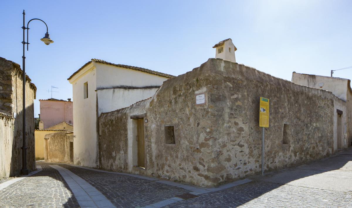
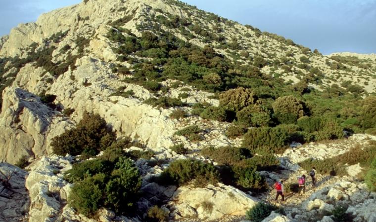
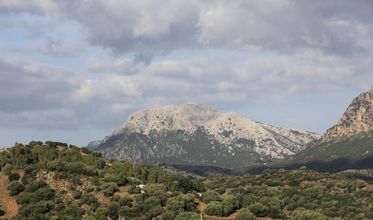
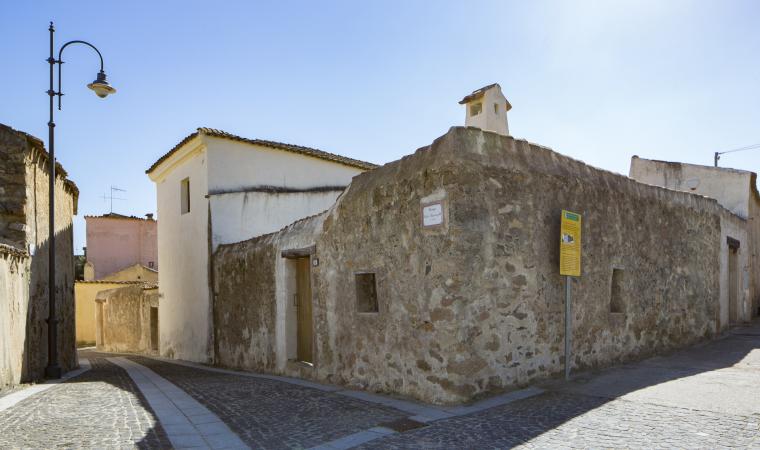
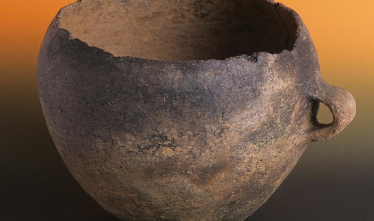
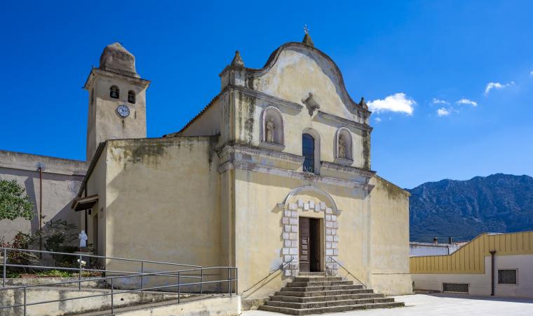
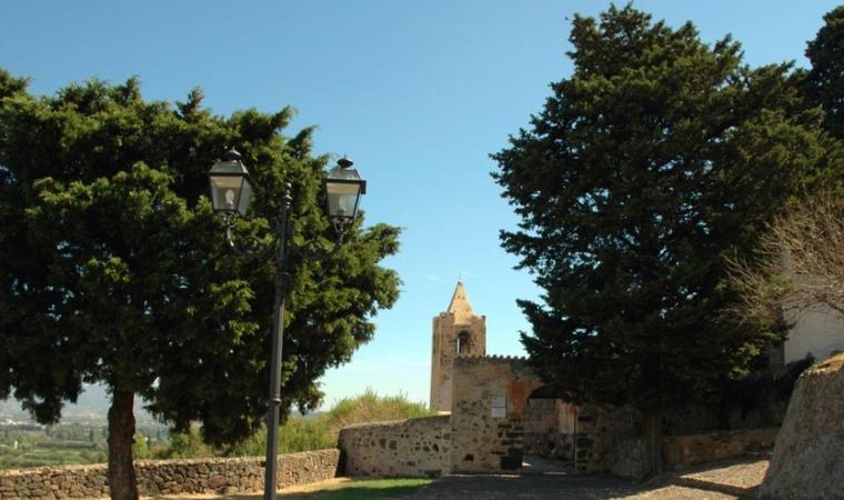
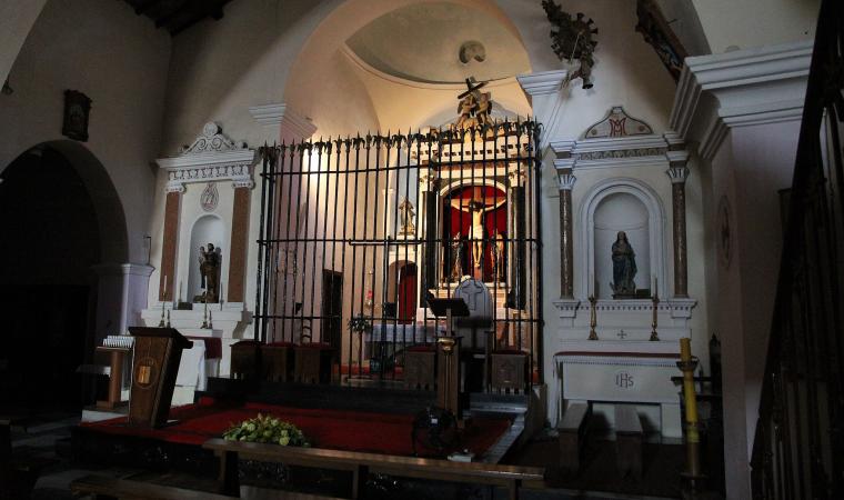
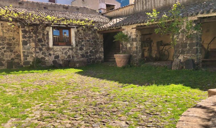
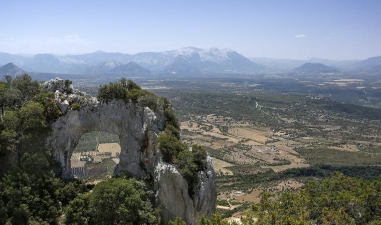
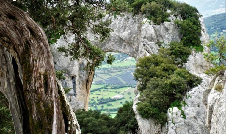
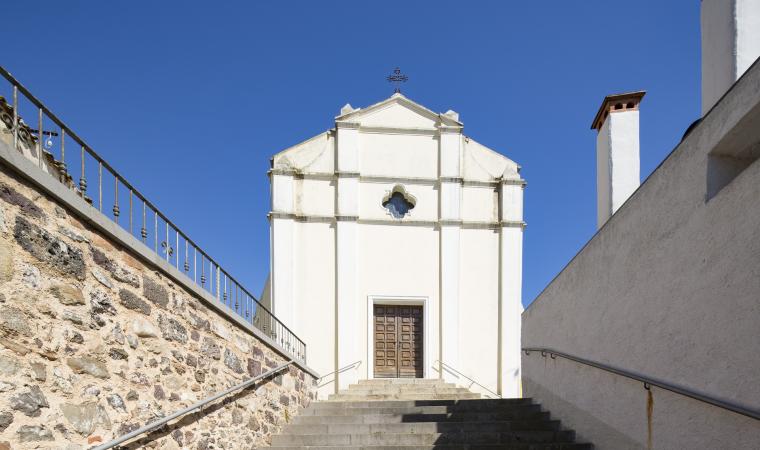
Loculi rests in the plain crossed by the River Sologo, an affluent of the River Cedrino, a few kilometres from Baronia, surrounded by hills and overlooked by the majestic, snowy profile of Mount Albo, the "Sardinian Dolomite". The village has a population of just over 500, and is 34 kilometres from Nuoro. The name is said to derive from locus, "holy forest" or "small place". It may have Phoenician or Punic origins, supported by the finding in 1959 of a jug from the period containing bronze objects and coins. The village has agricultural, sheep-farming, craft trade and religious traditions. Of the 17 churches existing from the 15th to 20th century, only the parish church of San Pietro e la Madonna de sa Defessa (the Defence) remains, and the patron saints are celebrated in late August and mid-January respectively. The rituals of the Holy Week are very popular. In the village centre stands sa Domo de sas artes e de sos mestieris, where you can discover the Baronia arts and crafts through the shots by photographer Carlo Bavagnoli. Part of the long ridge of Mount Albo falls into the territory of Loculi: the limestone bastion can offer evocative views along the marked paths. These paths, once used by charcoal burners and shepherds, climb right to the twin peaks of Turuddò and Catirina (1127 metres), through forests of ancient holm and oak trees. The area is a nature reserve inhabited by mouflons and surveyed by royal eagles. In the northern part, where the plants become sparse, you can admire a "lunar" landscape.
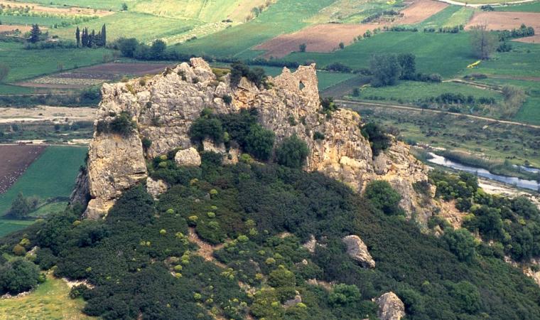
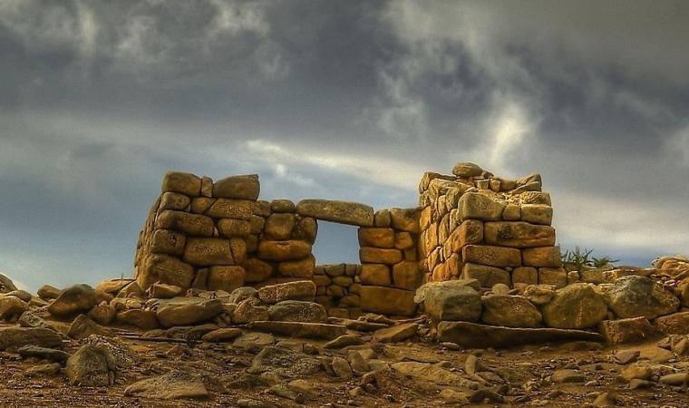
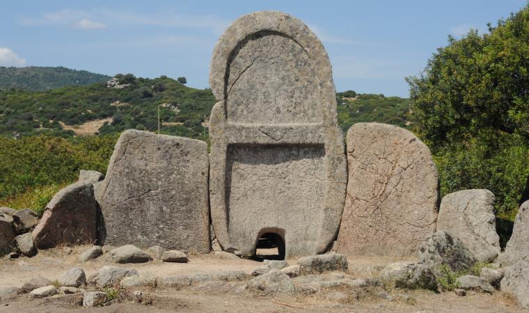
The territory of Loculi has been settled since the Neolithic, as shown by the domus de Japas dug from vertical cliffs, some "single chamber" (the domu of Pira 'è Tusu, Locurréris and Ena Longa), and others with more than one chamber (Tùrrighe and Puntèri). A megalithic dolmen-type burial in Santa Maria di Loculi dates to a period of passage between the pre-nuraghic and nuraghic ages. There are also nuraghic burials in the area: the Giant's tomb of s'Iscusorju ("hidden treasure"), around two kilometres from the town, is covered by pistacia trees, from which a corridor emerges, bordered by granite slabs in a "knife" layout, covered by jack-arched slabs. 15 kilometres from the village is the tomb of Ena Tunda, of which the lower part is preserved in the form of a long, apsed body, a rectangular corridor with a pointed ceiling and a semi-circular (exedra) entrance. The tomb of su Gollèi Lupu, with a cambered stele and gradually curving layout appears to be built over a previous dolmen: covering slabs are spread over the surrounding area. The nuraghes, which are linked, are positioned according to a strategic defensive design. A five metre high tower, entrance with architrave and part of the cell remain of the well-preserved Caraòcu (or Corricanu) nuraghe. The Preda Longa nuraghe is also very evocative.

